Flow re-circulation and other complex flow phenomena occur frequently in complex terrain. These phenomena cause high turbulence, and can impose high loading and maintenance costs to exposed wind turbines. Most flow modelling tools struggle to predict the presence or behavior of these phenomena. Approximations such as the Reynolds Averaged Navier-Stokes approach used in most commercial CFD tools actually suppress these large scale turbulent fluctuations.
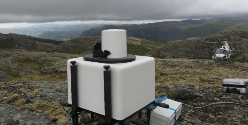
In order to better describe and predict re-circulation and high-turbulent spots, a hybrid lidar-LES approach was developed. The method has been tested in a full scale experiment in very complex terrain in a planned wind farm in Norway.
The results show that both high resolution lidar measurements and LES flow models can be used to describe large scale re-circulation in complex terrain. In regions where the scales of the main turbulent fluctuations are significantly larger than the spatial resolution of the lidar and the flow model, accurate descriptions of the flow behavior can be made.


